


The Vermilion
"The Vermilion, by its union with the gulph, forms the natural communication of its inhabitants with the sea. The time is not far remote when many thousands of people will exist on the shores of this river…," William Darby, A Geographical Description of the State of Louisiana, published in 1817.
The course of the Vermilion River and what happens along its banks, like every other river in the world, have changed with the times.
For millennia throughout the prehistoric era, each time sea level made a drastic change, so would the course of what we now call the Mississippi River — and the Mississippi’s changes affected all the waters in its vicinity.
At some point between 25,000 and 125,000 years ago, the course of the Mississippi shifted to the west. In fact, for a while, the river flowed right through the Lafayette area, where it cut a new course through the coastal plains. When the course of the river shifted eastward, the mighty river left in its wake a course through the prairie — a channel for the eventual Vermilion River.
Because the Vermilion and surrounding Attakapas Country “lay at some distance from the first centers of colonization, it was not encroached upon to any great extent until late in the eighteenth century,” as recorded by John Reed Swanton in 1911.
By the 1740s, early settlers had a profitable fur and deerskin trading business along the Vermilion River. The Old Spanish Trail reached the Vermilion right about where the current Pinhook Bridge is located. The Pinhook Bridge landmark has been the epicenter of the Vermilion for centuries. Underestimating the significance of that site in terms of the history of the river and region is almost impossible.
 In the midst of traders, ranchers and smugglers, the area around the Pinhook Bridge was the hub of what little commerce and activity happened along the Vermilion at the time. The small settlement was called Petit Manchac and served as a trading center for Native Americans, trappers and colonists.
During low water periods, Petit Manchac, later called Pinhook, was the farthest inland up the Vermilion River that smugglers could deliver goods up — making the Pinhook Bridge point the traditional head of navigation for the waterway. Above the Pinhook Bridge, it was called Bayou Vermilion. Below Pinhook, it was called the Vermilion River.
In 1760, Gabriel Fuselier de la Claire, originally from France, bought all the land between the Vermilion and the Bayou Teche from the Eastern Attakapas Chief Kinemo. This initial sale of land began a long string of land sales on both sides of the Vermilion.
By 1762, when France ceded Louisiana to Spain, the hardy pioneers along the Vermilion were primarily trappers, ranchers and smugglers. Some built their "stores" on barges that carried gunpowder, traps, tea and other goods to the scattered settlers, who offered furs, hides and farm products in exchange.
The Acadians began arriving in 1765. The census of 1766 listed 150 inhabitants in the Attakapas District — including 37 people in 17 households at Cöte Gelee (present day Broussard). By 1769, the population of the entire district was up to 409, according to a census taken that year by acting Gov. O’Reilly.
In the midst of the Acadians’ arrival to the Attakapas Country, smuggling along the Vermilion River was rampant. During the Spanish period, it was known as a smugglers' "highway." By the early 1800s, smuggling expanded to include the illegal slave trade.
“The bewildering rapidity with which the country was transferred from Spain to France and then to the United States cause a great deal of confusion. Neither the laws of the United States nor its language were understood,” The WPA Guide to Louisiana (2013).
Since settlers had arrived in Attakapas Country, raising cattle provided the most prosperous livelihood along the prairies of the Vermilion River. However, about 1830 most cattlemen opted to plow up their grasslands and plant cotton or sugar cane — with the intent to use the river as the primary means to transport the heavy goods. Steamboats made transporting the cotton and hogsheads of cane sugar an easier possibility than transporting by land.
As the 1850s brought rising economic prosperity to the free people of the region, tensions between the North and South were also increasing. Eventually, the great national debate of slavery and westward expansion reached a boiling point and the Civil War was launched. Because of the region’s bounty of agricultural resources, both Union and Confederate forces brought significant naval troops to the bayous throughout the Acadiana region. Early in the Civil War, the Confederate army used the region as a major foraging area.
In 1865, after the war ended, the region struggled economically. Because of extensive wartime damage along the upper Vermilion — crops were burned, livestock was killed, homes were destroyed — the region’s farmers had little to nothing to send to market. During that time and considering the problems associated with navigating the Vermilion, what cargo was ready to be sent to New Orleans likely went along the Teche.
With so much energy focused on recovery from the Civil War and the additional activity along the Vermilion, the region clambered for improvements along the Vermilion, which were slow to materialize. In 1879, Congressional legislation commissioned an engineering survey through the Army Corps of Engineers.
In June 1880, Congress appropriated $5,000 to fund the removal of navigational hazards between Abbeville and Pinhook Bridge. In February 1881, the Corps of Engineers signed a contract for $4,750 to clear “22 miles of river.” In March 1881, Congress appropriated $4,900 to underwrite the cost of closing the Vermilion’s “eastern entrance, at its mouth, by a low-water dam, and applying the balance that may remain to clearing the banks of overhanging trees, and the bed of the river of all trees, logs, and snags that may be found in it.”
Because the railroads didn’t reach New Iberia and Abbeville until later, the late-blooming steamboat traffic along the lower Vermilion thrived for years after it had virtually disappeared in other places. But the railroad eventually reached those communities too, and steamboat traffic disappeared.
By 1881, the railroad made its way from New Orleans to Houston and the region was referred to as the Attakapas Country began to grow and prosper again. The Civil War and Yellow Fever epidemic of the mid-1800s behind them, the city changed its name from Vermilionville to Lafayette in 1884.
As the ease and speed of train travel began to morph society, the Vermilion River’s place of prominence began to diminish.
In the 1930s, in response to the great flood of 1927, levees constructed around the Atchafalaya Basin cut off the flow of fresh water to the Vermilion River. This hydrological isolation led to better flood control and navigation but came at a great price to the river. The lack of fresh water led to continued pollution and pollution accumulation, leading it to gain the infamous title of “Most Polluted River in America” on national television in the 1970s.
In response to the river’s pollution, in 1984 the state of Louisiana created the Lafayette Parish Bayou Vermilion District with the primary purpose of improving the water quality and beautifying the Bayou Vermilion in Lafayette Parish in an effort to promote the bayou as a recreational and cultural asset.
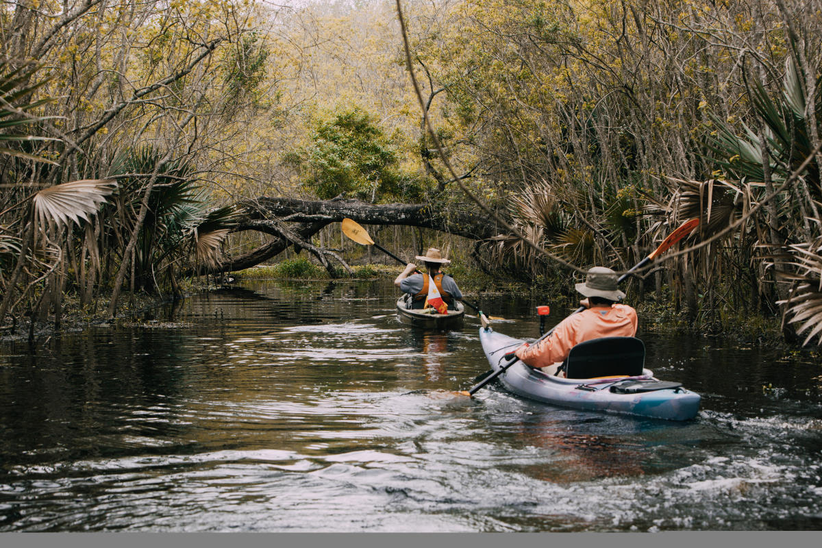
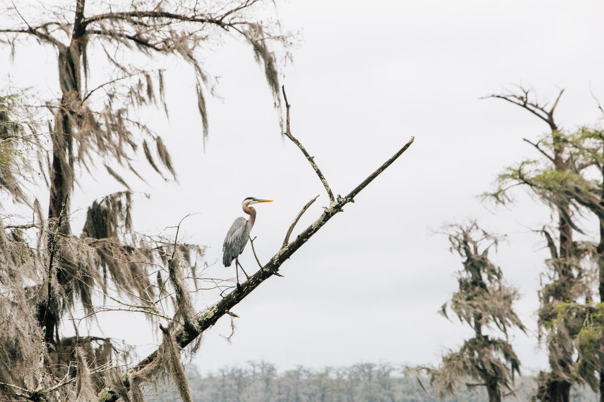
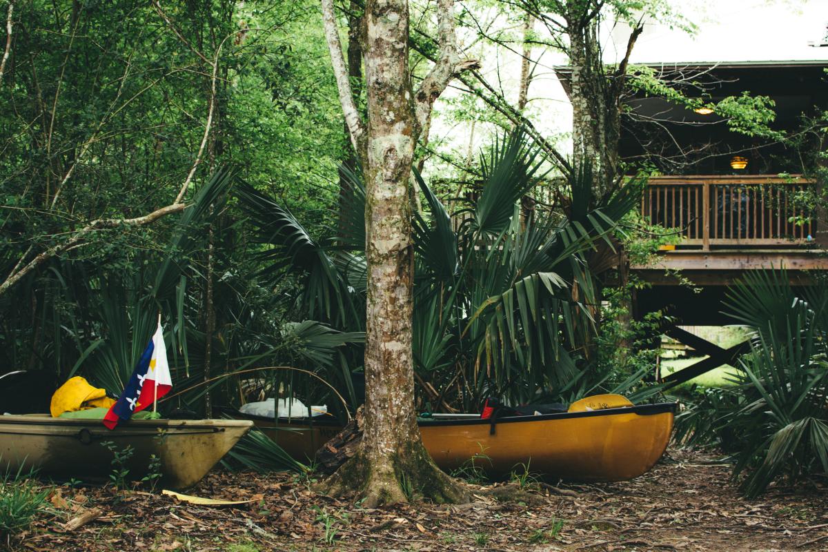
After more than 30 years of work, progress is happening and the river’s water quality, oxygen levels and aquatic life are in a healthier state. Recreation on the river has also continued to increase with Bayou Vermilion District maintaining three boat launches, four canoe/kayak launches and three public parks all located along the Vermilion.
Slowly but surely the Vermilion River is returning to the tidal river it once was.
Places to Explore


Lafayette Weekly
The most exciting week of live music to grace our city is here. Musicians from far-reaching corners of the globe gather for five days of unparalleled rhythm, dance, art, and…

Crawfish Capitol of the World Calling
Get ready for a belly-full of fun and a Cajun experience like no other! The Breaux Bridge Crawfish Festival, held the first weekend in May, isn't just about crawfish (although…

Civil Rights Trail in Lafayette
The U.S. Civil Rights Trail marks important landmarks, primarily in Southern states, where activists challenged segregation in churches, courthouses, schools, and other sites in…

Thrift Stores in Lafayette
Thrift stores are making a comeback. Whether you're looking for that ultra-rare rock tee or just an affordable pair of shoes, Lafayette has everything from resale designer…


